

Nature First Resilience in Phuentsholing
Community-Driven NbS in the Himalayas
Status
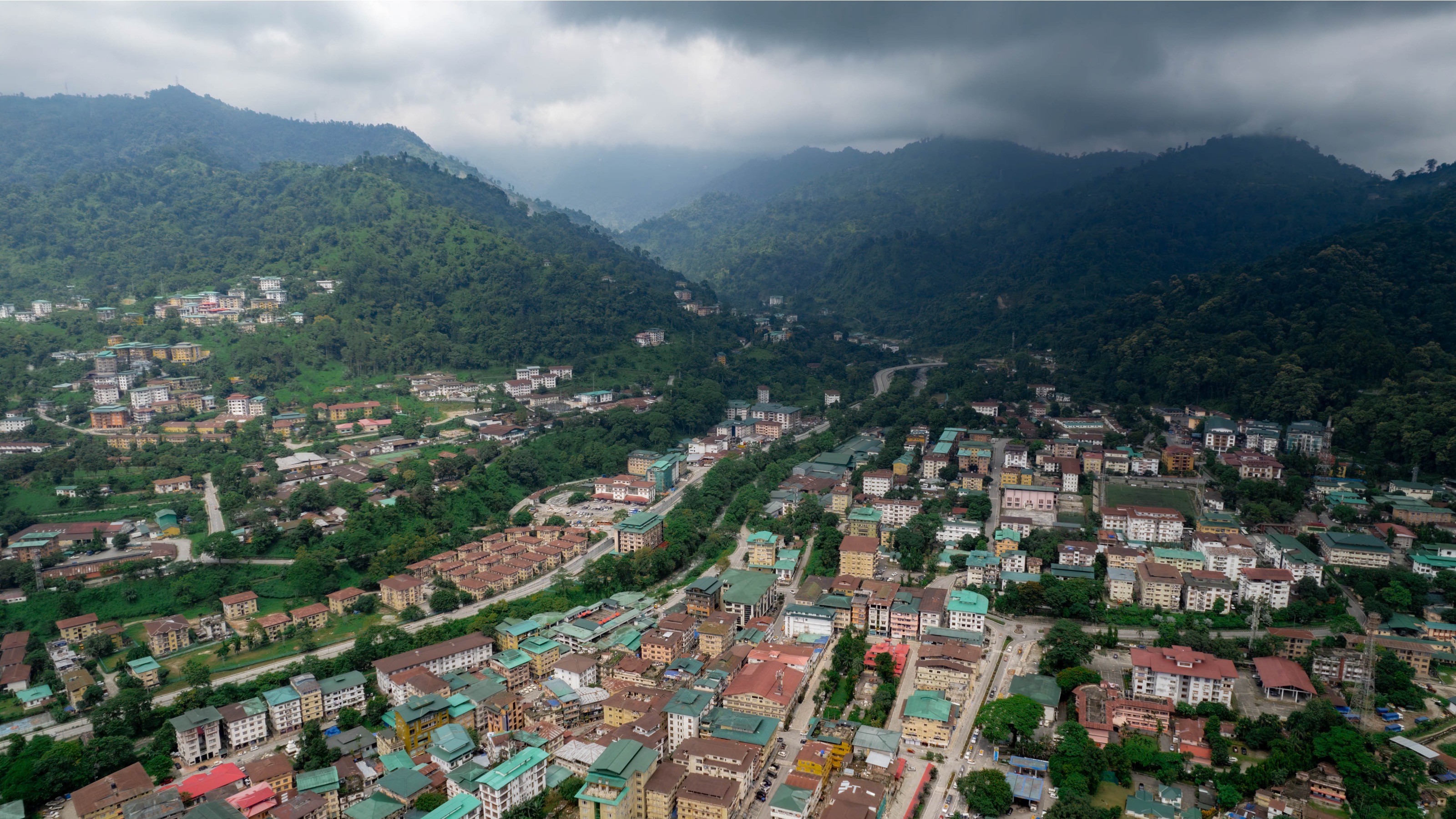
City description
Phuentsholing Thromde, a compact 15.5 km² border city of roughly 27,600 residents, lies at the intersection of Himalayan foothills and fast-flowing river systems. Its steep slopes, fragile soils and dense urban footprint make it highly exposed to monsoon floods, erosion and landslides, challenges intensified by rapid expansion and scarce developable land. Despite these pressures, the city has positioned ecological protection as the foundation of its urban strategy, reflecting Bhutan’s constitutional mandate to preserve a minimum of 60% forest cover. This nature-first orientation shapes how Phuentsholing grows, plans, regulates and engages with its communities.
Challenge
Phuentsholing’s steep slopes, fragile soils and river corridors make it highly vulnerable to floods, erosion and landslides, risks magnified by urban expansion and climate variability. Traditional hard infrastructure alone cannot manage these risks without significant cost and ecological disruption.
Solution
The city adopted a “Nature First” approach, embedding NbS into planning, governance, land management, and community engagement. Through strict environmental regulations, topography-driven design, community stewardship and green-grey integration, Phuentsholing demonstrates how ecological systems can become the foundation for resilient urban growth.
Key Impacts
70% national forest cover maintained
through strict regulation supporting local NbS uptake.
15-30% land pooled across LAPs
enabling shared green spaces, buffers and eco-sensitive infrastructure.
4 rounds of public consultation per LAP
strengthening community ownership and reducing conflict.
5% water tariff contribution from urban users
to upstream communities under the PES scheme, financing watershed protection.
47% of land identified as unsuitable.
for development due to hazards, protecting critical natural systems
12 Local Area Plans (LAPs)
integrating topography, geotechnical studies, green buffers and natural drainage to reduce landslide and flood exposure
Comments ()